The storm is still producing heavy rain as it moves east.
The death toll continued to increase in Louisiana and Texas on Friday as the Gulf Coast cleaned up a day after being walloped by Hurricane Laura.
When Hurricane Laura hit Louisiana this week as a Category 4 storm with 150 mph winds, it was the strongest storm to hit the state since 1856.
For all continental U.S. landfalling hurricanes, Laura tied for the fifth strongest to ever hit the U.S. Pressure wise, Laura was the fourth-strongest hurricane in U.S. history.
Laura, while not as destructive as many forecasted, reached wind gusts of 137 mph in Lake Charles, Louisiana, caused a storm surge of 9 feet in the state and dropped 10 inches of rain in some areas.
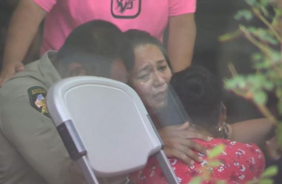
The death toll Friday afternoon stood at 14, according to The Associated Press. Ten of those deaths came in Louisiana. Eight of the deaths in the two states were attributed to carbon monoxide poisoning.
In a tragic outcome, four people were killed by carbon monoxide poisoning, the Louisiana Department of Health posted in a statement on Twitter. Officials are considering the deaths storm related.
“The Louisiana Department of Health is sadly verifying an additional four storm-related deaths from carbon monoxide poisoning. We do not have other details at this time. This brings the total number of deaths to 10,” related to the storm, the tweet read.
Three men were killed by carbon monoxide poisoning in a pool hall in Port Arthur, Texas, according to the AP.
The storm also produced four tornadoes.
Laura is still a tropical depression Friday morning, but is losing its tropical characteristics over Arkansas. However, the storm is still producing heavy rain and with the possibility of tornadoes.
As of Friday evening, 485,192 customers in Louisiana, 106,801 in Texas and 26,373 in Arkansas remain without power in Laura’s aftermath, according to poweroutage.us.
A flash flood watch has been issued for Arkansas, Mississippi, Alabama, Tennessee, Kentucky and Illinois, where some areas could see 3 to 5 inches of rain.
What’s left of Laura will move through Mid-Mississippi Valley and into Ohio Valley Friday evening, bringing gusty winds, a flash flooding threat and a threat for a few tornadoes.
Laura will combine with a cold front and will bring heavy rain and a threat for flash flooding to the Northeast Saturday from Philadelphia to New York City and into southern New England.
Remnants of Laura will bring up to 5 inches of rain to the Mid-South region and up to 3 inches in the Northeast this weekend.


